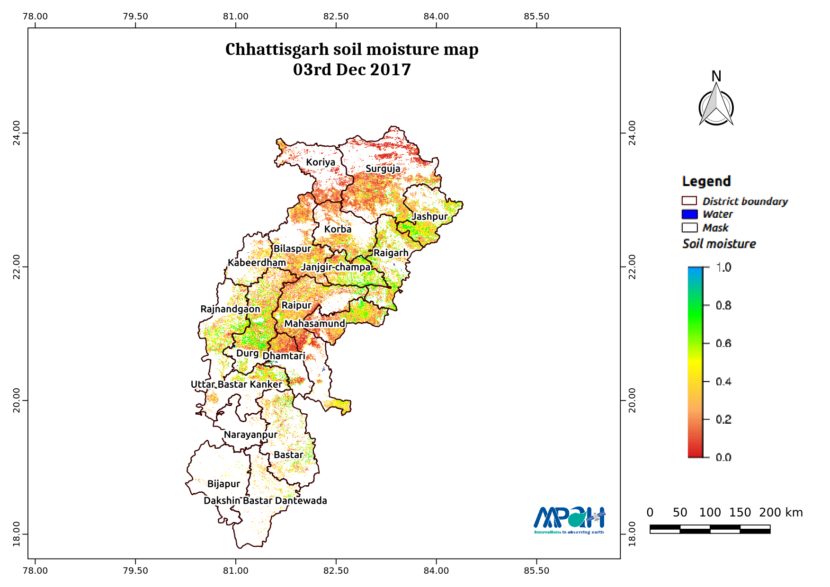
Soil Moisture Map for the state of Chhattisgarh

Posted on Posted in Agriculture, Algorithm Development, Disaster Management, Environment, News, Satellite Remote Sensing, Water Resources

The image shows the soil moisture map for Chhattisgarh state. The map is prepared by merging microwave and optical satellite data using the algorithm developed by us. The soil moisture maps are available daily at a spatial resolution of 500 m. The developed near real time soil moisture is helpful for: Early warning of agricultural […]

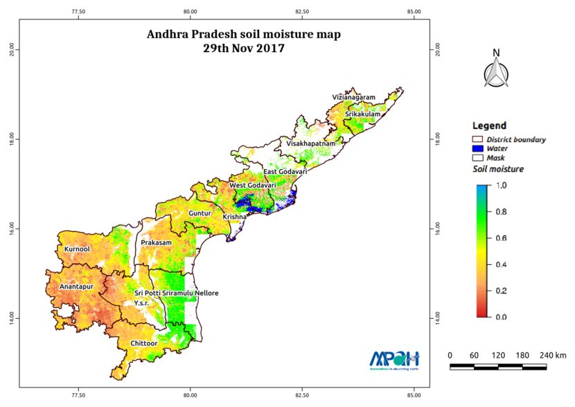
Soil Moisture Map for the state of Andhra Pradesh

Posted on Posted in Agriculture, Algorithm Development, Disaster Management, Environment, News, Satellite Remote Sensing, Water Resources

The image shows the soil moisture map for Andhra Pradesh state. The map is prepared by merging microwave and optical satellite data using the algorithm developed by us. The soil moisture maps are available daily at a spatial resolution of 500 m. The developed near real time soil moisture is helpful for: Early warning of […]

Soil Moisture Map for the state of Uttarakhand

Posted on Posted in Agriculture, Algorithm Development, Disaster Management, Environment, News, Satellite Remote Sensing, Water Resources

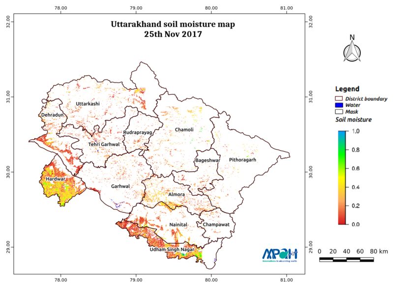
The image shows the soil moisture map for Uttarakhand state. The map is prepared by merging microwave and optical satellite data using the algorithm developed by us. The soil moisture maps are available daily at a spatial resolution of 500 m. The developed near real time soil moisture is helpful for: Early warning of agricultural […]
Soil Moisture Map for the state of Uttar Pradesh

Posted on Posted in Agriculture, Algorithm Development, Disaster Management, Environment, News, Satellite Remote Sensing, Water Resources

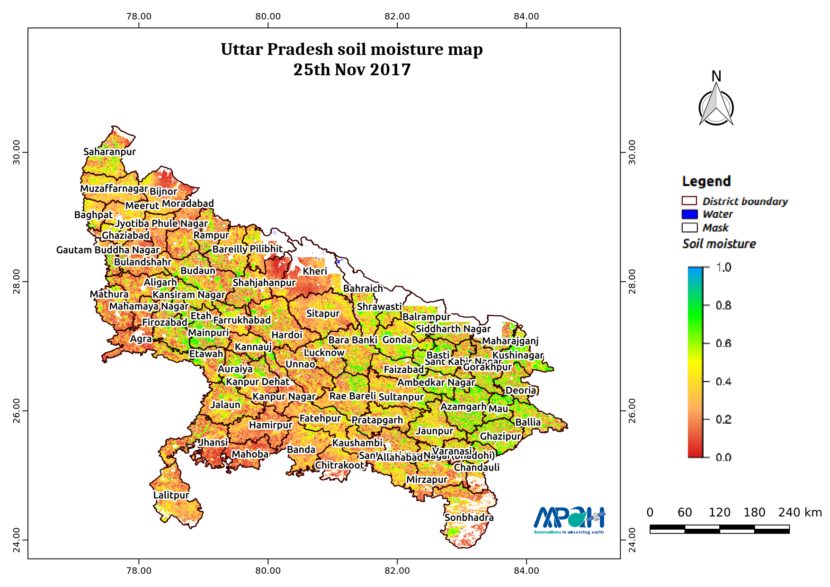
The image shows the soil moisture map for Uttar Pradesh state. The map is prepared by merging microwave and optical satellite data using the algorithm developed by us. The soil moisture maps are available daily at a spatial resolution of 500 m. The developed near real time soil moisture is helpful for: Early warning of […]

Soil Moisture Map for the state of Telangana

Posted on Posted in Agriculture, Algorithm Development, Disaster Management, Environment, News, Satellite Remote Sensing, Water Resources

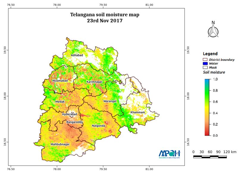
The image shows the soil moisture map for Telangana state. The map is prepared by merging microwave and optical satellite data using the algorithm developed by us. The soil moisture maps are available daily at a spatial resolution of 500 m. The developed near real time soil moisture is helpful for: Early warning of agricultural […]
Soil Moisture Map for the state of Tamil Nadu

Posted on Posted in Agriculture, Algorithm Development, Disaster Management, Environment, News, Satellite Remote Sensing, Water Resources

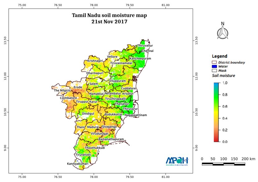
The image shows the soil moisture map for Tamil Nadu state. The map is prepared by merging microwave and optical satellite data using the algorithm developed by us. The soil moisture maps are available daily at a spatial resolution of 500 m. The developed near real time soil moisture is helpful for: Early warning of […]

Soil Moisture Map for the state of Punjab

Posted on Posted in Agriculture, Algorithm Development, Disaster Management, Environment, News, Satellite Remote Sensing, Water Resources

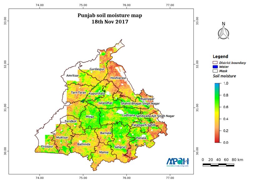
The image shows the soil moisture map for Punjab state. The map is prepared by merging microwave and optical satellite data using the algorithm developed by us. The soil moisture maps are available daily at a spatial resolution of 500 m. The developed near real time soil moisture is helpful for: Early warning of agricultural […]
VATI – watch your region in real time through our new App

Posted on Posted in Agriculture, Algorithm Development, Environment, Geospatial Modelling, GIS solutions, Mathematical Modelling, Modelling, News, Remote Sensing, Satellite Remote Sensing, Software Development, Water Resources

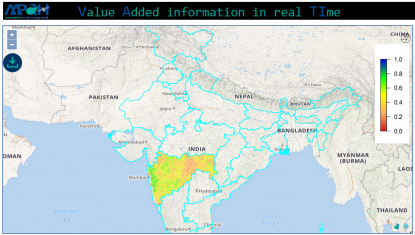
Making it easier than ever to stay in touch with our selective innovative products and information which allows to observe earth in near real time. We have not only built the new flagship app but taken everything you would like i.e. more intuitive, smarter and dramatically simplify your remote sensing experience. VATI (Value Added information […]

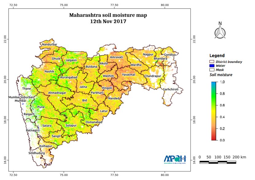
Soil Moisture Map for the state of Maharashtra

Posted on Posted in Agriculture, Algorithm Development, Disaster Management, Environment, News, Satellite Remote Sensing, Water Resources

The image shows the soil moisture map for Maharashtra state. The map is prepared by merging microwave and optical satellite data using the algorithm developed by us. The soil moisture maps are available daily at a spatial resolution of 500 m. The developed near real time soil moisture is helpful for: Early warning of agricultural […]
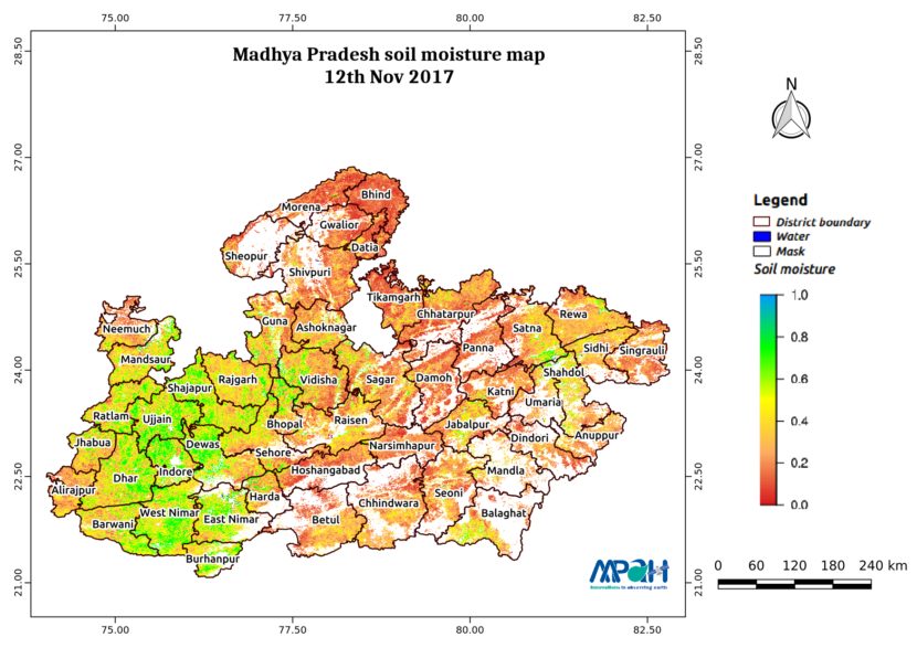
Soil Moisture Map for the state of Madhya Pradesh

Posted on Posted in Agriculture, Algorithm Development, Disaster Management, Environment, News, Satellite Remote Sensing, Water Resources

The image shows the soil moisture map for Madhya Pradesh state. The map is prepared by merging microwave and optical satellite data using the algorithm developed by us. The soil moisture maps are available daily at a spatial resolution of 500 m. The developed near real time soil moisture is helpful for: Early warning of […]