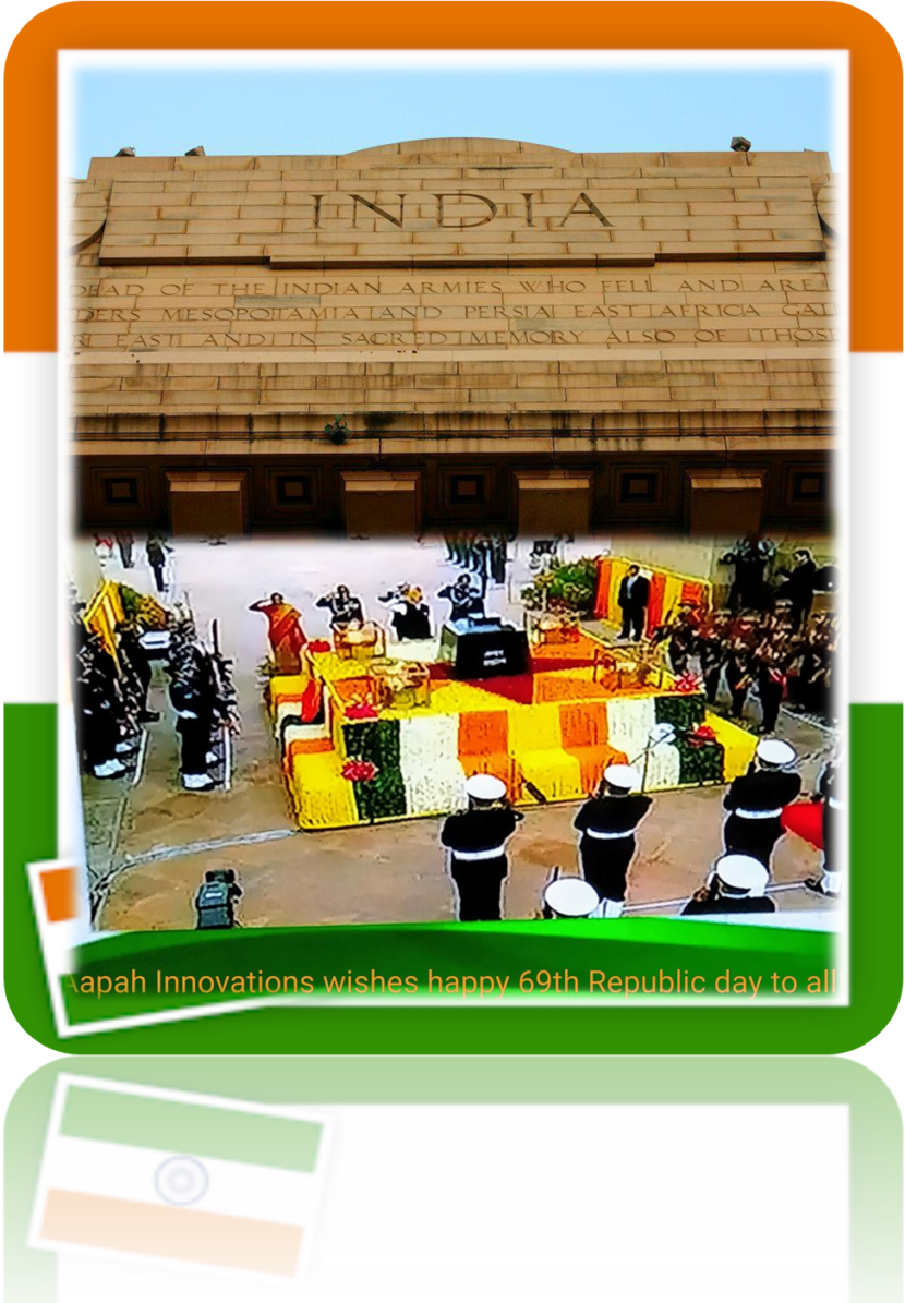
Happy 69th Indian Republic Day
Today is the day when we got our own constitution!

Today is the day when we got our own constitution!
We are delighted to announce that Dr. Ahmad Al Bitar Project Manager, CESBIO, Toulouse, France has joined our Technical Advisory Board. He is an expert in the development of innovative algorithms for the robust estimation of hydrological variables and integration of these variables in hydrological models to provide value-added products. Some of the products developed […]
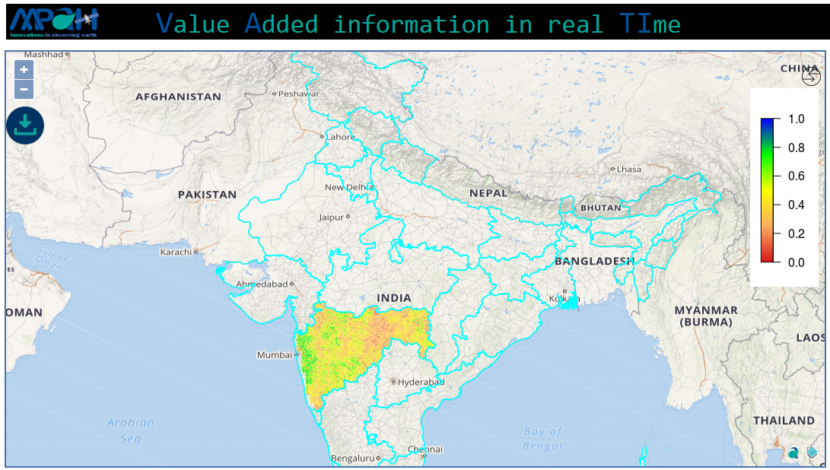
Making it easier than ever to stay in touch with our selective innovative products and information which allows to observe earth in near real time. We have not only built the new flagship app but taken everything you would like i.e. more intuitive, smarter and dramatically simplify your remote sensing experience. VATI (Value Added information […]
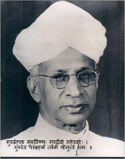
To commemorate the birth date of the India’s most distinguished twentieth-century scholars of comparative religion and philosophy, first Vice President of India (1952–1962) and the second President of India from 1962 to 1967, Dr. Sarvepalli Radhakrishnan, 5 September 1888, has been celebrated as Teacher’s Day since 19621 . When he became the President of India, […]
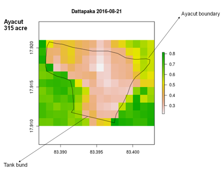
Tanks are an important source of irrigation. Artificial or natural, tanks are used for harvesting and preserving the local rainfall and water from streams and rivers for later use for various purposes including agriculture and domestic. For serving the purpose, tanks require regular maintenance, revival, and restoration which includes frequent removal of silt (desilting). Also, […]
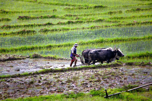
Being an agrarian country, 48.9% of Indian population directly or indirectly depends on agriculture (Economic Survey 2014-15)1. A total of 12,602 farming sector persons (8,007 farmers/cultivators; 4,595 agricultural labourers) has committed suicides during 2015, accounting for 9.4% of total suicides victims (1,33,623) in the country (National Crime Records Bureau statistics, 2015)2. According to Milner, Spittal, […]
Factors like the natural disaster (flood, drought, earthquake), climate variability (hail storming, heavy rainfall), pest’s attack, scarcity of water, inundations, financial aid etc. puts agriculture at risk. These factors lead to the apprehension of stress that may resist a farmer’s ability to take decisions for any sort of long-term crop management investment. Having had experience […]
A tribute to the sacrifices that led to the adoption and enactment and giving to us our constitution. The constitution that is “of the people, by the people and for the people” of India. Jai Hind!
Currently the soil moisture is available either at coarse spatial scale from passive microwave remote sensing or at infrequent repeat time from active microwave remote sensing. A novel MAPSM algorithm is developed which merges Active and Passive microwave Soil Moisture to obtain a higher spatio-temporal soil moisture which is a prerequisite for various hydrological, agricultural and […]