[edsanimate_start entry_animation_type= “pulse” entry_delay= “0.5” entry_duration= “2.5” entry_timing= “linear” exit_animation_type= “fadeOutUp” exit_delay= “0” exit_duration= “0.5” exit_timing= “linear” animation_repeat= “infinite” keep= “yes” animate_on= “load” scroll_offset= “” custom_css_class= “”]
You can access the VATI by clicking here.
[edsanimate_end]
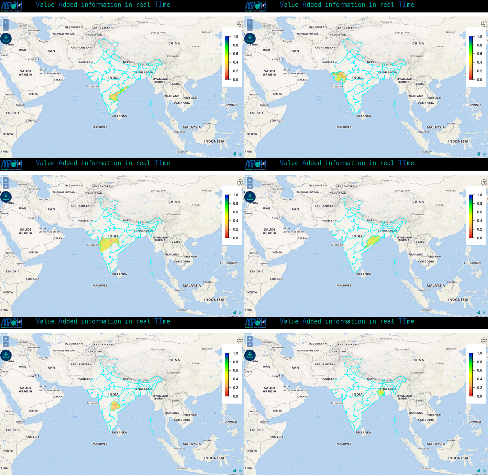
VATI (Value Added information in real TIme) is an application to visualize value-added information in real time. The value-added products/information is estimated by processing the data from multiple satellites.
Free edition includes:
(i) Visualization of the data in near real-time.
(ii) Chose any one geographical area.
(iii) Downloading of maps in png format.
You can access the VATI by clicking here. If you do not have the credentials for VATI, you can request by sending an email to vati@aapahinnovations.com.
Premium edition includes:
(i) Includes all features of Free edition.
(ii) Download data in any GIS (raster/vector) format.
(iii) On-demand process the data for other time period/geographical area.
For the premium access, you can contact us.


