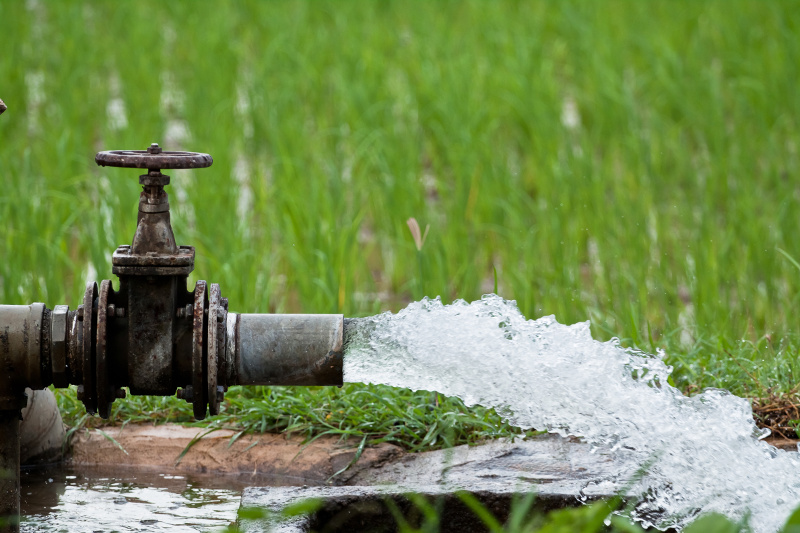
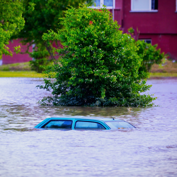
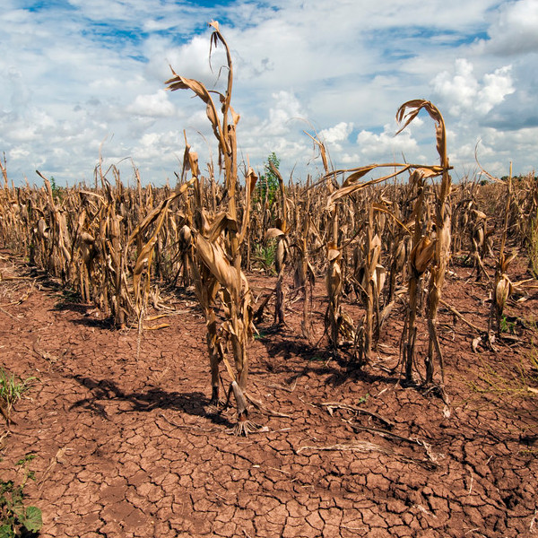
Weather Forecasting

Posted on Posted in agri, disaster, urban, water

The satellite soil moisture can provide the estimate of evaporation and transpiration. The information on the evaporation from the land surface and transpiration from plants can be used to enhance the short and medium term weather forecast. The weather forecast would help us in preparing for the calamities like flood and in short-term irrigation planning.

Integrated Water Management Programme (IWMP)

Posted on Posted in agri, satellite, water

The primary objective of IWMP is to address the issue of soil degradation & moisture conservation in the rain-fed areas of the state. The satellite soil moisture can help in the assessment of the impact of the watershed management programme on agriculture. The availability of long term (before and after the project is executed) soil […]

Prediction of flood risk

Posted on Posted in agri, disaster, env, gis, math, satellite, urban, water

The flood depends upon the intensity of rainfall and the infiltration (absorption) capacity of soil which is related to soil moisture. The satellite soil moisture provides information on the soil infiltration capacity. A combination of real-time precipitation availability and satellite soil moisture can predict the floods. Based on precipitation forecast and soil moisture data, the […]

Monitor agricultural drought using satellite data in near real time

Posted on Posted in agri, disaster, env, geo, gis, math, satellite, water

A deficit in the available soil moisture for agriculture is termed as drought which results in the lack of crop growth and production. Microwave satellite provides information about the available soil moisture in near real time which is useful for drought early warning. The conventional method of monitoring drought based on crop variables e.g. NDVI […]