
Monitor agricultural drought using satellite data in near real time
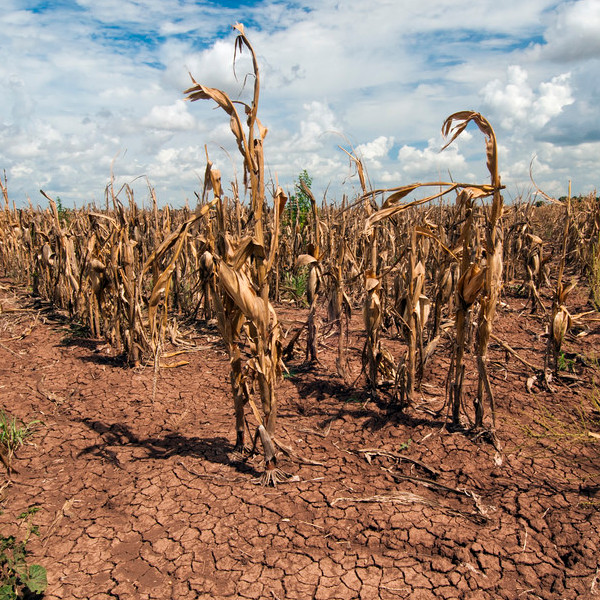
A deficit in the available soil moisture for agriculture is termed as drought which results in the lack of crop growth and production. Microwave satellite provides information about the available soil moisture in near real time which is useful for drought early warning. The conventional method of monitoring drought based on crop variables e.g. NDVI […]