


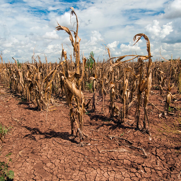
A deficit in the available soil moisture for agriculture is termed as drought which results in the lack of crop growth and production.
Microwave satellite provides information about the available soil moisture in near real time which is useful for drought early warning. The conventional method of monitoring drought based on crop variables e.g. NDVI captures the drought once it has impacted the crops which do not provide enough time to intervene and save the agriculture. Another advantage of microwave satellite is the capability to penetrate the clouds which are prevalent during Kharif season.
Aapah monitors the drought over SAARC region using a combination of active and passive microwave satellites in near real time. The near real-time soil moisture data can be helpful for institutions to manage the crisis. The historical availability (15 years) of soil moisture data is also helpful for the risk management.