Satellite remote sensing for crop insurance

Posted on Posted in insurance

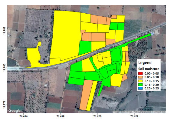
Our services for crop insurance are: Identification of no-sowing area. Identify area impacted by localized risks of hailstorm, landslide, and Inundation affecting isolated farms in the notified area. Prevented sowing failures (e.g. due to very low soil moisture). Analysis of weather indices. Periodical (fortnightly) crop health monitoring. Mid term loss reports. Identification of post-harvest perils […]

Satellite remote sensing for crop insurance underwriting

Posted on Posted in insurance

Our services for crop insurance underwriting are: Trend analysis of historical crop yield data and acreage. Weekly soil moisture and crop growth for past 14 years at a spatial resolution of 500 m are useful for village level applications. Application of satellite soil moisture to compute the risk associated with crop yield. Analysis of soil […]