Empowering Agriculture and Water Resources via Earth Observation.
The AIPL Advantage: Unified Intelligence Ecosystem
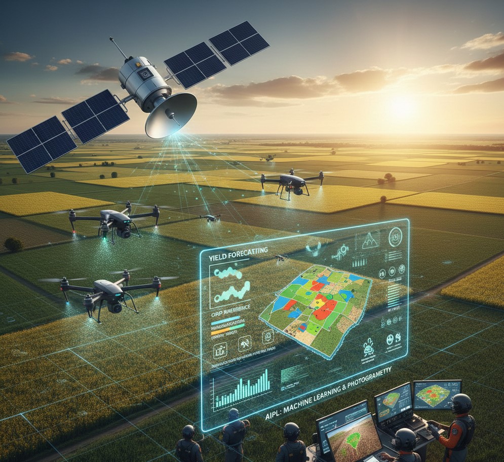
Aapah Innovations (AIPL) is transforming Indian agriculture through the fusion of satellite-based Earth Observation and drone-powered precision farming, creating a unified intelligence ecosystem for sustainable decision-making. This integrated approach provides real-time insights “from sky to soil”.
Core Technology Highlights
- Integrated Tech Ecosystem: Combines satellite imagery and drone data for real-time insights.
- Advanced Data Processing: Uses multi-satellite data fusion and AI algorithms to analyse crop, soil, and water systems.
- Machine Learning Integration: Enables early issue detection, yield forecasting, and optimization of land, water, and fertilizer use.
- Drone Solutions: Employs UAVs with RGB and multispectral sensors for crop monitoring, pesticide spraying, and precision mapping.
- Expert Team: Draws talent from top Indian and global institutions in hydrology, crop science, remote sensing, data science, and software engineering.
Key Features & Applications
Water Resource Management
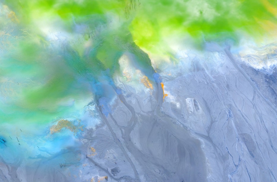
Soil Moisture & Evapotranspiration Monitoring
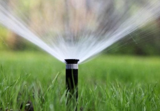
Understanding how much water the soil holds and how much evaporates or is used by crops is essential for sustainable farming. AIPL combines satellite remote sensing, drone imagery, and AI modelling to monitor soil moisture and evapotranspiration (ET) with high accuracy and near real-time updates. By tracking ET rates and soil moisture variations, AIPL identifies over-irrigated or drought-stressed zones before visible damage occurs.
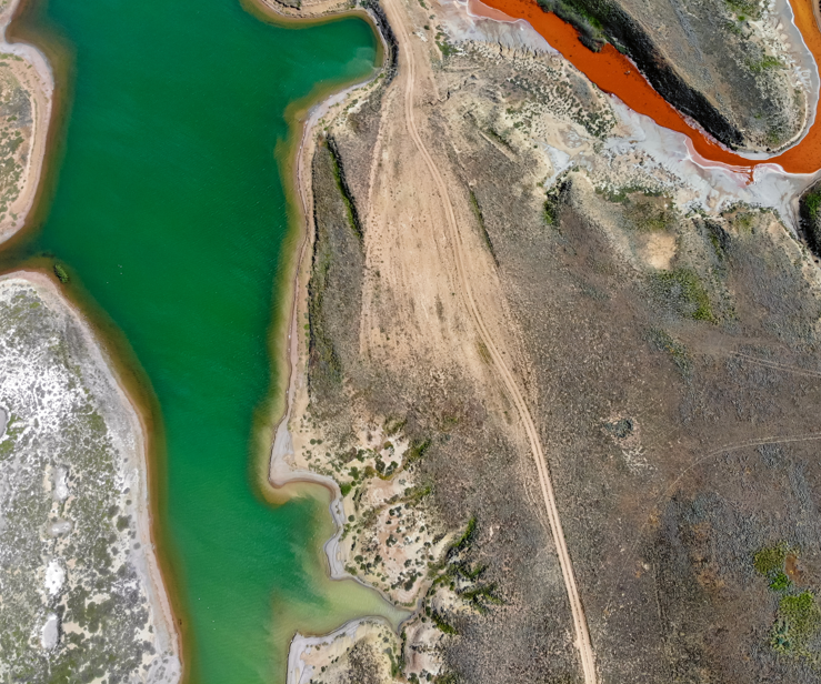
Water Resource Tracking
Using satellite observations, drone-based mapping, and hydrological modelling, we deliver end-to-end insights into how water moves, collects, and is consumed across agricultural landscapes. Our systems monitor surface water bodies, groundwater reserves, and irrigation networks in real time. This integration allows early detection of declining water levels, leakage zones, and inefficient irrigation practices.

Weather and Precipitation Analysis
AIPL harnesses multi-satellite data, machine learning models, and ground validation systems to deliver accurate, location-specific weather and rainfall insights. Our advanced models track precipitation intensity, frequency, and distribution, helping identify rainfall anomalies, flood risks, and dry spells.
Crop Health & Drone Solutions
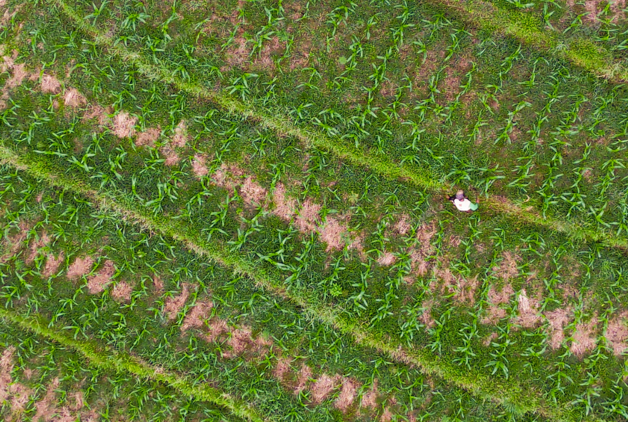
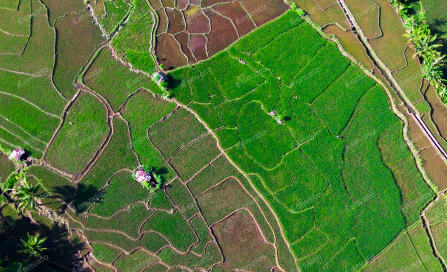
Vegetation and Crop Health Mapping
Our solutions analyse parameters like NDVI (Normalized Difference Vegetation Index) and EVI (Enhanced Vegetation Index) to measure plant vigor, canopy density, and chlorophyll content. This data reveals subtle signs of nutrient stress, pest infestation, or disease outbreaks long before visible symptoms appear.
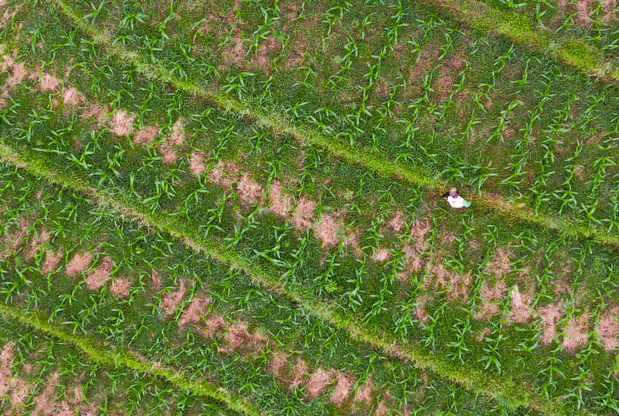
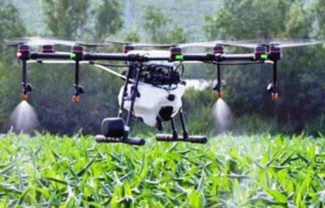
Early Disease Detection & Precision Spraying
AIPL’s advanced drones, equipped with multispectral sensors, detect crop diseases and stress at their earliest stages. Drones fitted with pesticide spraying equipment function more efficiently and for a fraction of the cost compared to manual spraying. This achieves Precision Agriculture by saving time and protecting farmers from toxic chemicals.

Irrigation Monitoring and Topography
AIPL’s drones, equipped with thermal cameras, identify irrigation imbalances. Using RGB imagery to map field topography, we help farmers optimize crop placement, improve drainage, and prevent waterlogging.

Integration, Benefits, and Approach
The Power of Integration: Satellite + Drone
Where satellites provide the macro view, drones bring the micro precision—and AIPL’s machine learning and photogrammetry systems bridge the two.
- Accurate yield forecasting and crop emergence analysis.
- Automated insurance validation through geo-tagged evidence.
- Smarter irrigation and fertilizer scheduling based on real-time conditions.
- Scalable monitoring solutions for government programs such as PMFBY and WBCIS.
AIPL’s skilled drone pilots provide accurate 2D and 3D Ortho mosaic maps that support crop insurance claims following damage from floods, pests, or extreme weather.
Our Data Acquisition Approach (Phase 1)
- Site Reconnaissance: A preliminary survey is conducted to understand site conditions, terrain, wind speed, temperature, and humidity, ensuring all obstacles are dealt with before the actual flight.
- Mission Planning: Flight Planning is done, and markers are fixed at the periphery of the area of interest to ensure full coverage.
- Data Acquisition: Flying and Photography is carried out using an Aerial Vehicle equipped with a visual RGB and multispectral sensor.
Processing and Analysis (Phase 2)
Pre-Processing: This stage includes stacking of the images acquired by the sensor.
Post-Processing: Raw images are geo-referenced to produce geo-preferred base maps.
Project Specific Data Analysis: The planning team generates “Action Ready” outputs (maps, figures, flythroughs, and reports in AutoCAD and GIS Files) for effective planning and monitoring.