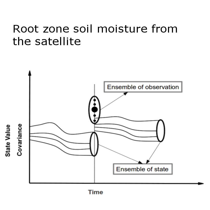
An estimate of the spatial distribution and temporal variation of soil moisture content in the top few meters of the earth’s surface is important for numerous environmental studies including meteorology, hydrology, agronomy and climate studies. Although the amount of water in this layer seems insignificant compared to the total amount of water on the global scale, this thin layer of soil controls the success of agriculture and partition of precipitation into runoff, evapotranspiration and groundwater storage. Soil moisture can be measured by point measurements and remote sensing or can be calculated by water balance models. While point measurements allow for the collection of high resolution data through the soil profile, it is limited to a local scale due to instrument and logistic constraints. The satellite remote sensing is limited to the top few centimeters but yields good spatial information over large areas. On the other hand, water balance models can provides the both but suffers from the modeling errors. Hence there is a need to combine all the three ways of estimating soil moisture to get the soil moisture optimally. Present study provides a way to combine these ways by means of soil moisture model, inverse modeling and data assimilation approach.


