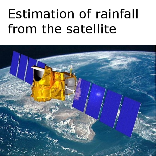
The knowledge of hydrological variables (e.g. soil moisture, evapotranspiration, runoff, and recharge) is of pronounced importance in various applications including flood control, agricultural production and effective water resources management. These applications require the accurate prediction of hydrological variables spatially and temporally in watershed/basin. Though hydrological models can simulate these variables at desired resolution (spatial and temporal), but requires the inputs data (e.g. rain, evapotranspiration) at the same resolution. Often rainfall data, which is highly spatially variable, is not available at the desired resolution. Other data like evapotranspiration are also not available at the desired resolution but has lesser spatially variability and can be interpolated with relative ease. Remote sensing has the potential to improve the resolution of data like rainfall, which is the one of the objective of MT Satellite mission. Retrieval of rain rate from remote sensing requires validation of algorithms using field studies.
Rain rate derived from satellite is validated using the automatic weather station. The validation is performed at several temporal resolution: daily, weekly and monthly. A significant bias is observed in the satellite rainfall and this bias is removed using the quantile matching approach.


