Village level soil moisture mapping using satellite data
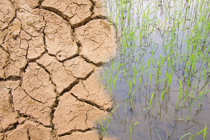
Knowledge of higher spatial resolution soil moisture is of paramount importance in agriculture, water resource management, flood, drought, etc. Soil moisture has a high spatial variability due to the variability in soil, vegetation and climate. Soil moisture can be measured using soil moisture sensors, however these measurements are point based and not feasible to cover […]