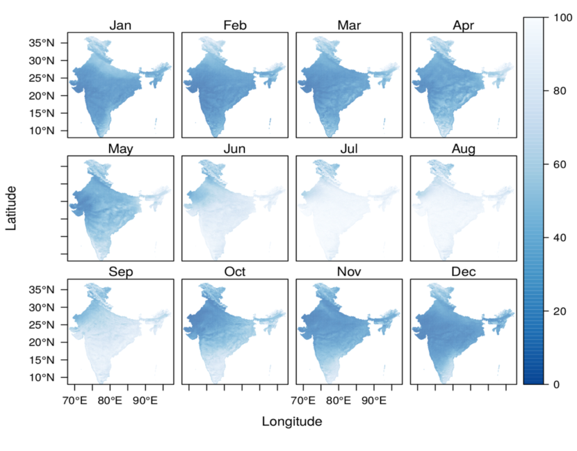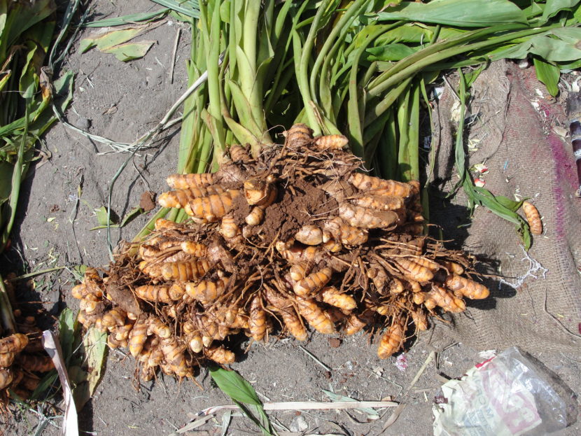
Want to know how Turmeric is growing in your area?
Advanced estimate of the crop yield is useful in various applications e.g. crop insurance, harvest planning, delivery estimates, etc. Advanced estimate of the crop yield can be obtained by performing the statistical analysis, however, it does not take into account the current ground realities and rely only on the historical data. The satellite remote sensing […]